New Heights Inspection and Engineering
NHIAE offers cutting edge solutions for the mapping and analysis of complex vertical structures using high resolution reality capture at the engineering grade level while significantly reducing safety risks. Our patent-pending revolutionary approach to capturing and processing data remarkably increases accuracy, quality, safety, and profitability for all stakeholders.
Telecommunications
Imagine not having to climb to get precise measurements! Our patent pending measuring system is not only quicker, it is more precise and, more importantly, safer.
Learn More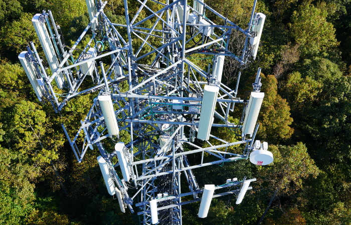
Construction and Real Estate
Aerial pictures and videos from an amazing perspective at much lower cost than traditional aerial methods.
Learn More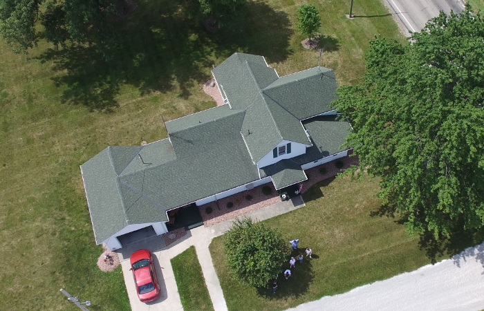
The most damaging phrase in the language is “We’ve always done it this way!"
— Rear Admiral Grace Murray Hopper in an interview in Information Week, March 9, 1987, p. 52